Geotechnical Radar Monitoring 2022 with GCE and Canary Systems
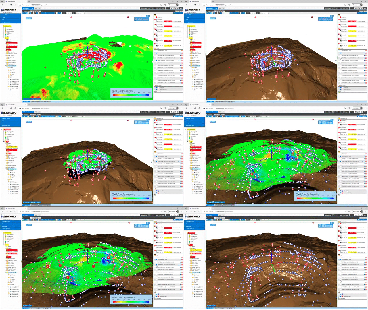
Canary Systems is excited to announce that we are once again contributing to the Geotechnical Radar Monitoring course hosted by the Geotechnical Center of Excellence of the University of Arizona. Our segment focuses on Integrated Monitoring and Numerical Models. The presentation we created for this course is available for download to our clients by completing the form to the right, but we encourage all interested in learning more to sign up for the full course.
We specifically cover:
- Numerical model integration with monitoring data
- Cyclical workflow between modelling and monitoring platforms
- Collateral for data collection
- Considerations for data flow
- Visualization with MLWeb
Please feel free contact us with any questions on how we can assist you with integrated monitoring for your site, or the GCE for more information about their course.
About the Course
This is a 15-week online course beginning March 28, 2022 and is presented by an expert panel of instructors. This course will help industry professionals learn to use radar systems more effectively by showing the different types available and providing a new perspective with case studies from mining operations.
This course as a whole covers:
- Satellite-based InSAR Monitoring
- Ground-based Synthetic Aperture Radar (SAR)
- Ground-based Real Aperture Radar (RAR)
- Physics of Radar
- Radar Capabilities/Limitations
- Data Interpretation
- Case Studies and Lessons Learned
The course will consist of 15 weeks of online learning modules released bi-weekly. There are approximately 1.5 hours of pre-recorded presentations per section with live bi-weekly virtual Q&A sessions with industry experts.
Check out the course description or visit the website for more details.


